Internship with Orkonyi Welfare Association, Loita Hills


Michael Barton and Chris Harrell narrate their experience as Africa Exchange interns with Orkonyi Welfare Association in the Loita Hills of Kenya . . .
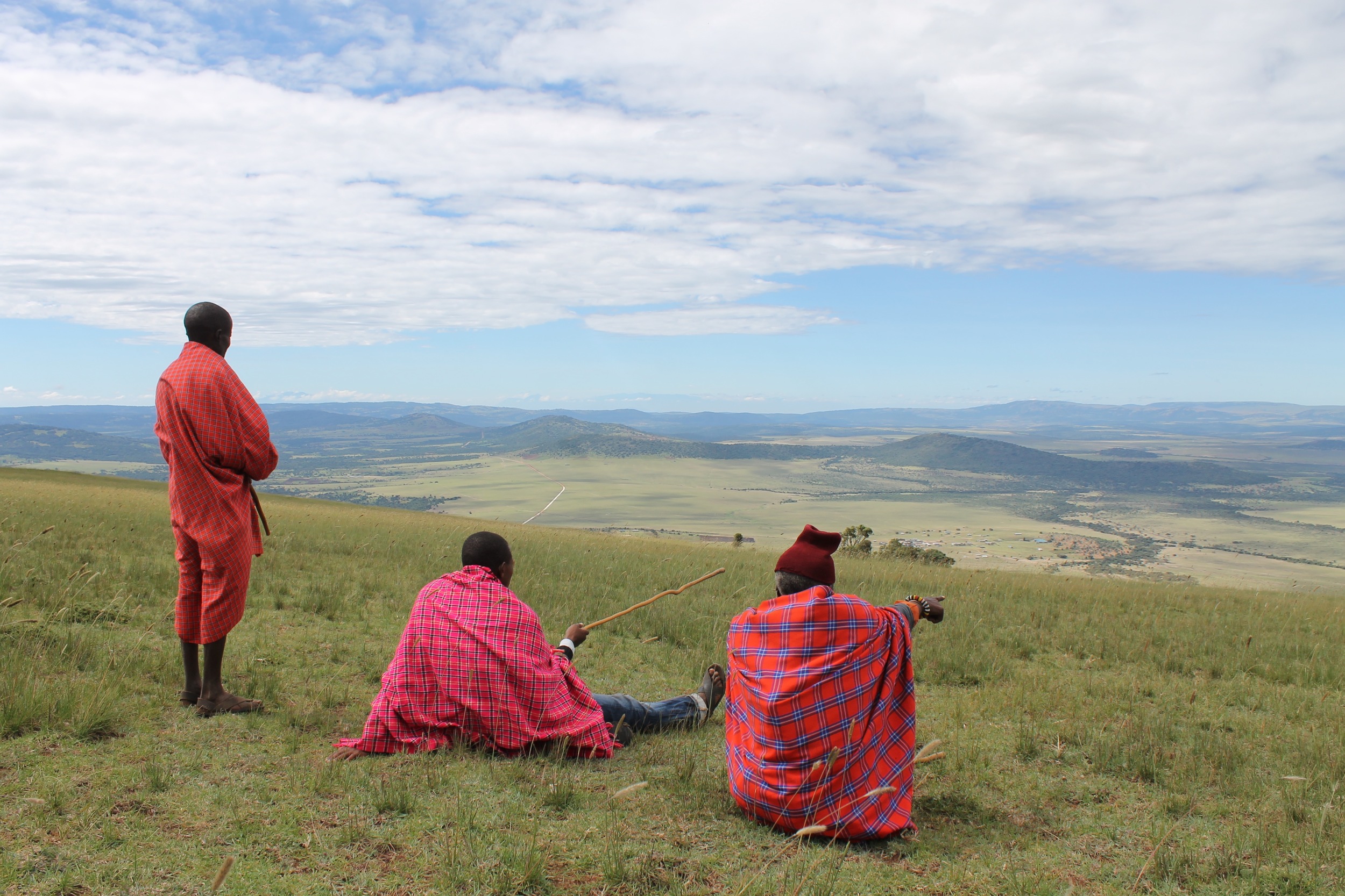
The Maasai’s second most sacred site after Ol'doinyo Lengai, is the Naimina Enkiyio Forest, (Maa for “Forest of the Lost Child”). High in the Loita hills along the Kenya/ Tanzania border, this highland forest is nestled between the harsh soda flats of Magadi and the expansive savanna of the Maasai Mara. Like many of the world’s remaining natural heritage sites, the future of the Naimina Enkiyio forest is filled with many challenges. Anthropogenic influences, both local and global, will determine this forest’s future. The question arises, who and what will benefit over the next decade of this forest’s future and who or what will suffer the losses?
As an outsider who doesn’t know the deep traditions of the Maasai culture, it is hard to grasp the dynamic nature of their reverence for the Naimina Enkiyio. The feeling first comes a long way before one actually enters the forest. Climbing up the escarpment of the Loita hills from the dusty, dry Narosura plains, one can hardly believe there is a highland forest on the seemingly semi- arid hillsides above you. Yet as the road rapidly ascends to a chilly elevation of over two thousand meters, a literal change of atmosphere can be sensed. Leveling off at the top of the first rise, there is a definite change in the fauna, not yet forest but thick Croton and Oleleshwa bush. This is quickly followed by entering a hidden bowl of savanna grasslands, whose low points are easily defined by strips of Acacia woodland, and its high border ridgelines populated by dense forest.
With too much to see, one’s eyes are drawn to the magnificent height of the Podocarpus trees and the girth of the Strangler Figs. Whilst looking up, the flash of red of a Hartlaub’s Turaco, or the racing black and white of the Colobus monkeys show how many layers of ecological niches this forest must contain. It is quickly apparent that the dynamic nature of the forest will be mirrored in the communities who rely on it. With the question of the management of such an important natural resource, dynamic politics is to be expected.
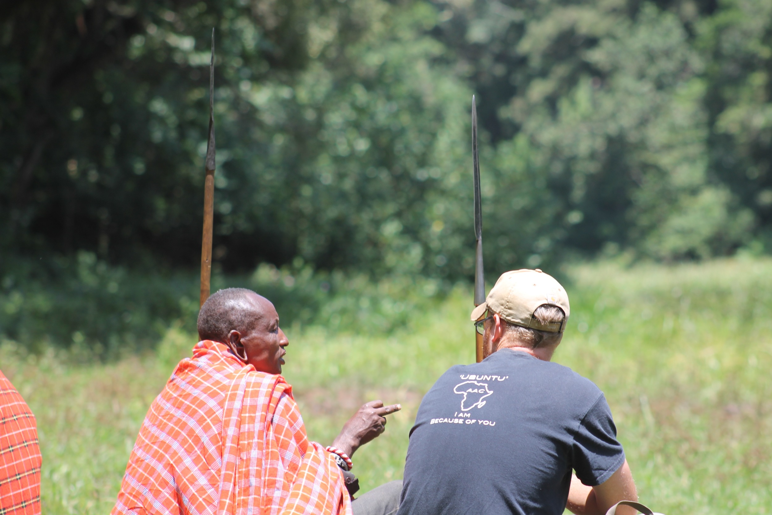
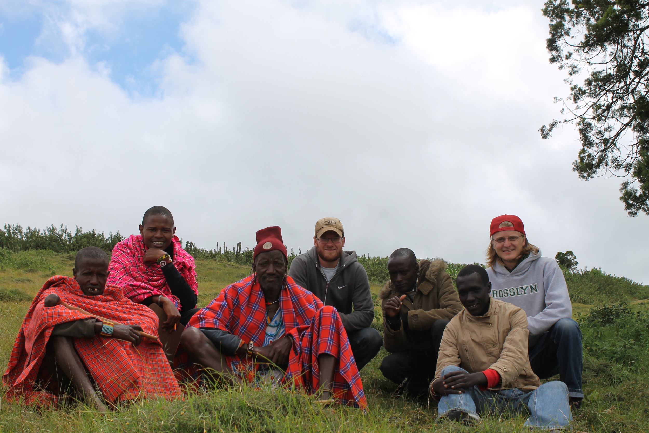
Our work in the forest was coupled with work in the four Puroko Maasai communities living on the forest’s northern boundary. These four communities, the Kirtilikini, Oltarakwai, Osupuko Oirobi, and the Olemegili make up the newly formed community association called Orkonyil. The Association was developed to give the communities a recognized voice to appeal to the Local and National Governments.
Our role here during the early stages of the new Association, was to help the association and communities to map the complex natural resources they have in the forest and pasture lands, but also to recognize the local human resources present within their communities. Our approach to disseminating this information to both the communities and the Association came through the use of GIS, (Geographic Information System), mapping and resources collection methods.
The GIS mapping portion of the project started with the collection of community resources; those accessible to the whole community, ‘the Commons’. These resources included, schools, clinics, traditional meeting points, churches, duka’s, (local general stores), pasture-lands, and water sources.
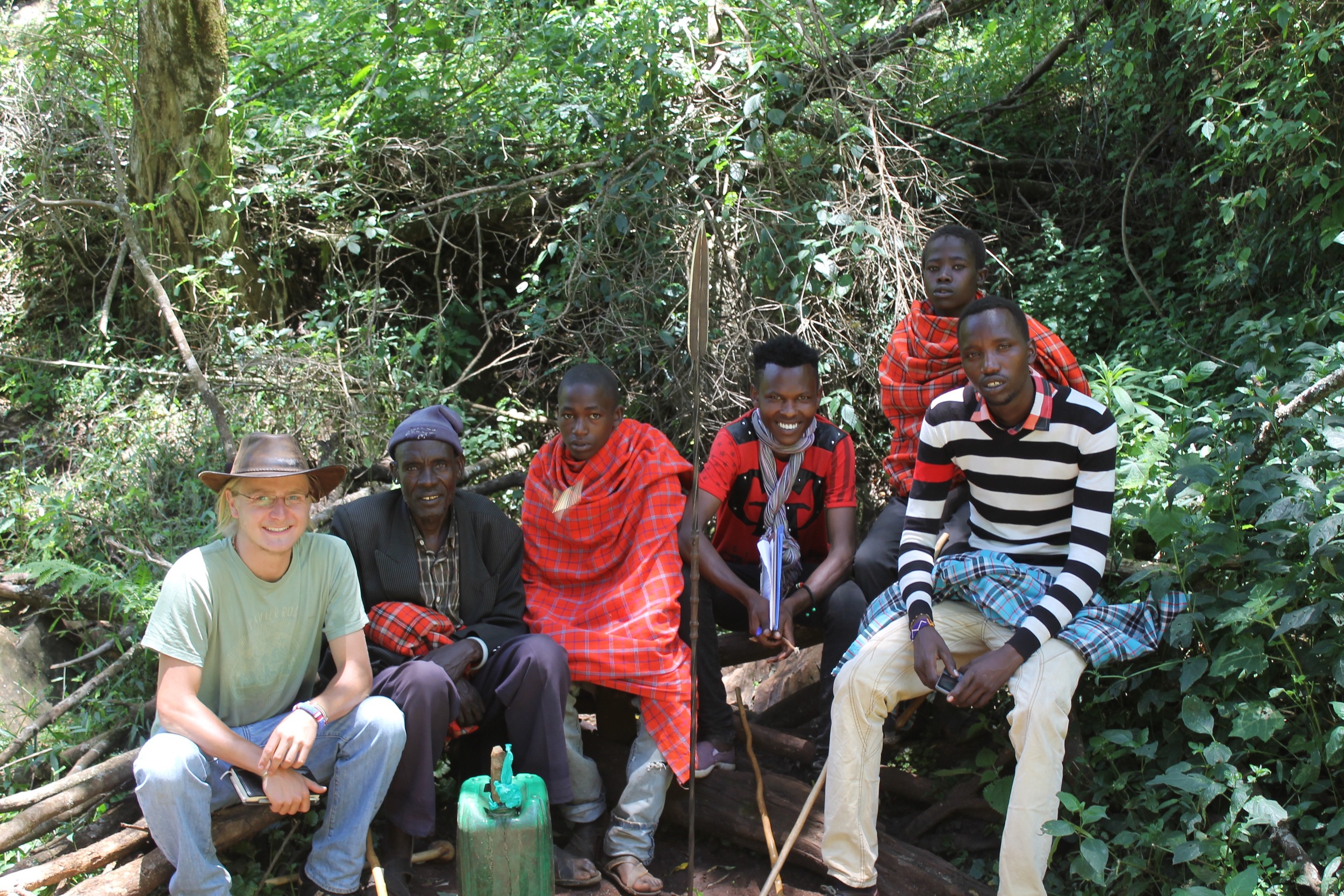
Throughout the collection process, we were also able to train a handful of the communities’ youth who had recently graduated from secondary school. During the two-month internship we worked with ten youth from the four communities involved in the Association. These ten ‘Resource Assessors’, (RA), were first introduced to the data collection methods and tools by shadowing us. They would watch and ask questions as we hiked through the forest to service the camera trap grid. They were able to see how the GPS could be used to ‘Mark’, ‘Find’, and ‘Save’ tracks to any destination. Coinciding with the camera trap grid survey we also collected sighting data using an android application called ‘CyberTracker’. This allowed us to customize survey questions, that when answered, built up our GIS with relevant information about the forest. The questions asked had to do with the different kinds of sightings we came across in the forest, such as spoor, markings, poaching, animal sightings and the size of the game trails through the forest. This data revealed some interesting patterns of animal movements such as that of elephant and leopard and reinforced the evidence from the camera traps.
In the final project, we worked on developing and training the RAs in how to use another customized CyberTracker app. This new app was loaded with a survey questions that would help to identify the demographic information from the four communities. Questions were developed to collect data under the two categories of Household information and Livestock information. These questions pertained to issues of household health and education and then livestock health and agriculture practice. With the collection of this geospatial-referenced data, the communities through their Orkonyil Association will more easily be able to recognize the issues faced by the greater community and will be better positioned to address these issues.
